| Audio Recorder | 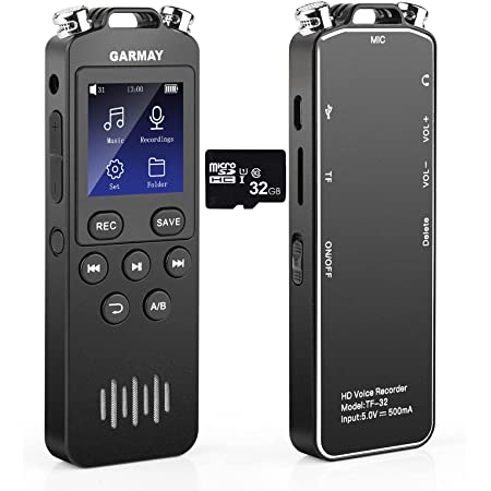 | This device is used to record the sounds of the environment. It is possible that the investigator will capture sounds from a Cryptid while investigating in the field. Keeping a recorder running helps to ensure the sound is captured. |
| GoPro | 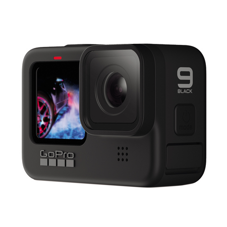 | The human eye can easily miss things while looking for subjects. Keeping a video recorder running at all times can help to capture any images that the investigator may have missed with their eyes while reviewing the footage. Keeping the recorder running and orientated with the investigator can help to ensure capturing any evidence in the field that the investigator sees. |
| GhostPro | 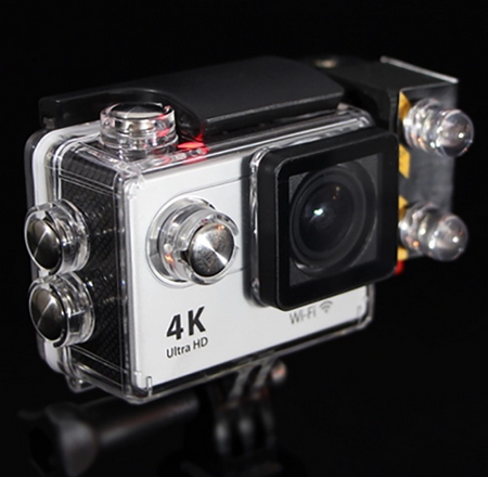 | This device is used like the GoPro. The difference being that the GoPro is limited to visible spectrum. This allows the investigator to record in the dark. Due to the camera being full spectrum and not just IR this camera is not suitable for use during the day. |
| Thermal Imager | 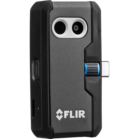 | Creates a graphical image representing the temperature layout of an area. This device can then be used to locate the heat signatures of subjects in darkness as well as allow a different perspective while looking through the forest. |
| Camera Drone |  | A different perspective can provide an investigator with a lot of additional information. Using a camera drone allows the investigators to create aerial surveillance of an area helping investigators on the ground to navigate or to quickly inspect large areas by remote. |
| Camera | 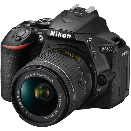 | Being able to document evidence is a major benefit for the study of Cryptids. Using a still camera allows investigators to quickly snap pictures of a subject of interest. Cell phones can also stand in for this when a full DSLR is not needed or is too bulky to bring into the field. |